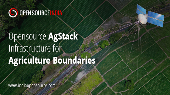
The Linux Foundation , a global non-profit organization has announced that its AgStack project will host a new open-source code base, alongside a fully automated, continuous computation engine, to create, maintain and host a global dataset of the registry of boundaries for agricultural fields. This initiative will enable food traceability, carbon tracking, crop production, and other field-level analytics by sharing agricultural data.
AgStack Foundation, which comes under the Linux Foundation is an open-source digital infrastructure for the agriculture ecosystem and seeks to improve global agriculture efficiency through the creation, maintenance, and enhancement of free, re-usable, open, and specialized digital infrastructure for data and applications. It is an effort for community-maintained sustainable agriculture and provides a free, open-source, and secure digital “operating system” for digital agriculture applications. The AgStack has enabled a rich suite of tools and frameworks to assist developers and creators in building sustainable agriculture innovations.
The project is funded by organizations including the NASA Harvest Consortium, while the code is based on the research by Dr. Sherrie Wang, Dr. Francois Waldner, and Professor David Lobell at The Center on Food Security and the Environment at Stanford University.
“Creating and maintaining a global, inclusive, neutral and company-agnostic dataset has been challenging due to a host of reasons,” said Dr. Wang. “Now is the time to do this. We have deep learning and satellite imagery to efficiently delineate crop fields at planetary scale. The next steps are to scale the algorithm, release the dataset as a public good, and maintain and improve it over time.”
The project uses satellite images and actual field registration data to continuously update the field boundary information. This data will train machine learning models to help farmers, agricultural companies, and the public sector to monitor and manage crop production, study management practices, determinants of productivity, pest and disease spread, and species diversity by providing precise information on field boundaries. Global food security research and innovation can be enhanced with the ability to share agricultural field boundary data.
According to FAO, the average field size of most farms is less than 1 hectare which contributes to over 1.2 billion active boundaries of agriculture through crop seasons. This project will primarily profit small region farmers by providing digital agri-services in the public and private sectors.
All code will be contributed under an open-source license and will be governed by the AgStack community within the Linux Foundation, using open-source and permissively licensed tools and processes.
“We are delighted to host this groundbreaking research and to work with the University community to create machine learning models and approaches that can enable this powerful global dataset,” said Sumer Johal, Executive Director of the AgStack Project at the Linux Foundation. “This code contribution will launch an ecosystem-wide invitation to stakeholders in the private and public sectors to ensure the availability of these data as a neutral, trusted, and the secure public good. Together we can help remove the blockages around working with field boundary data in a community-driven way.”
Source: The Linux Foundation


